Arlington, AZ |
||||||||
| Home | Geography | Prehistory | Early History | History | Today | Bibliography | ||
| Geography - Rivers | |
Rivers Mountains Desert Political |
The Gila River crosses the State of Arizona after beginning its journey in western mountains of New Mexico. Along the way the Gila receives the waters of the San Simon, San Pedro, San Carlos, Santa Cruz, Salt, Agua Fria, and Hassayampa rivers, as well as various creeks and washes, as it makes its way to the Colorado River near Yuma. All of the major tributaries enter the Gila before it reaches its ninety-degree bend in the Arlington Valley. This allows for the accumulation, and subsequent release, of rich silt, which was the major attraction to settlers at the turn of the Twentieth Century. | 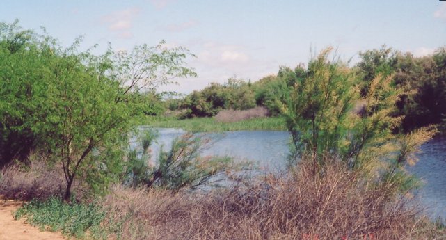 |
|
The San Simon and Hassayampa Rivers appear dry when joining the Gila River, the former sinking into an underground channel feeding the water basin beneath the San Simon Valley (Beneath the Chiricahuas). The latter begins in the Bradshaw Mountains and runs along the bedrock, below the sand. Because of its association with lost gold, and its name, which means "river that runs upside down," there is a legend that if you drink its waters, you will be a liar for life (Hassayampa Preserve). Both the San Pedro and Santa Cruz rivers begin their journey in Mexico; the former is one of the last free-flowing rivers connecting the United States to Mexico, a remnant of what riparian systems in Arizona once were. The latter sojourns past Tucson before apparently disappearing in the desert, but like the San Simon and Hassayampa, the Santa Cruz River can quickly reach flood stage with enough runoff from the mountains. The San Francisco River, starts in the White Mountains in eastern Arizona and passes through the mining town of Clifton before reaching the Gila River upstream from Safford. The Salt, Agua Fria, and San Carlos rivers are all dammed for what seems like an eternity. The impedance of the Salt River begins with Roosevelt Dam and subsequent retention lakes owned by the Salt River Project, the last being the Granite Reef weir which disposes of the river into various canals in the Phoenix-Mesa Metropolitan area. The Agua Fria River empties into Bartlett Lake, which is also a storage facility for the Central Arizona Project and its waters from the Colorado River. The San Carlos River, which begins in the Natanes Plateau, ends its short journey in San Carlos Lake, which, created by the Gila River, has been almost dry throughout most of its life. |
|||