Arlington, AZ |
||||||||
| Home | Geography | Prehistory | Early History | History | Today | Bibliography | ||
| History: 1890 to 1990 - Transportation | |
Settlement Pioneers Agriculture Commerce Transportation Schools Cemeteries |
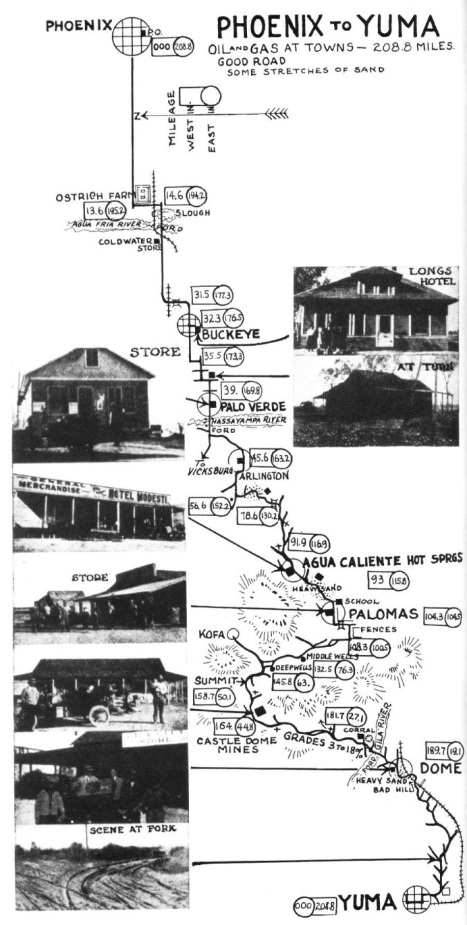
The road to Yuma from Phoenix passed through Arlington. Originally, the
highway started at the State Capital, and headed south on 17th Ave to
Buckeye Road. The road then turned to the west on Buckeye/Yuma Road, and
continued on until turning at the Arlington store. The highway headed south
to the river and then followed the river to the end of the valley. The road
then turned west becoming Agua Caliente Road. This was the route of stage
lines and early automobiles.
In 1921, a highway was developed that initially followed a similar route, but followed along the Arlington canal and avoided the flood plain. Then Gillespie Dam was built across the Gila below Arlington and the highway was redirected to cross the Gila River on the skirt of the dam and follow the Gillespie canal to Gila Bend where it intersected the old Gila Trail. In the 1970s, with the completion of Interstate 8, US 80 no longer was the main route to Yuma, and by the 1990s, the United States designation ceased to exist, hence the name Old US 80. (Finley, xiv-xv, 16-17; Murphy, 4/?) |
 |